
The End Is Near Clarenville, NL to Whitbourne, NL
My night behind the Clarenville Visitor Information Centre was another successful wild camping experience. Although, it really stretched the definition of “wild camping” considering I was told I could camp there and the people working there were so helpful in making my stay enjoyable. Thanks again to them – I should’ve gotten a photo, or at least their names.
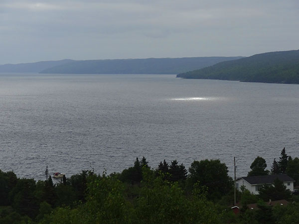
I found the one place the sun was shining this morning!
I left the Information Centre around 8:20 with my initial destination being Subway for breakfast and lunch to go. With it only being a couple of kilometres away, it was a short detour. By 8:40 I was officially on my way to Whitbourne – another 110 km day. And I’d been told by multiple sources that there would be hills. Big hills. “Terra Nova all over again”-type hills. I felt I was ready.

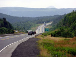
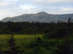
I don’t know what the peak is in the distance, but it’s nice.
The hills were in fact similar to those of Terra Nova, but I felt more prepared for them today. They were definitely exhausting climbs but not as daunting as yesterday. Unlike yesterday though, the biggest hills were closer to the end of the ride which was both good and bad. Bad because I was more tired by the time I got to them. Good, because I knew how far I was going on the day so I had a pretty good idea how much climbing was left to do. In this case it was 29 km.
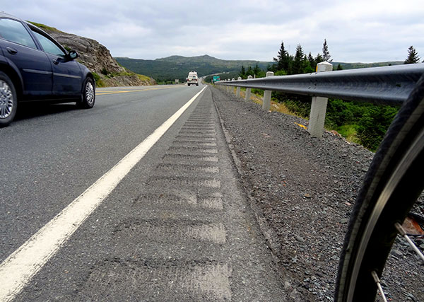
This is not a cycle-friendly shoulder.
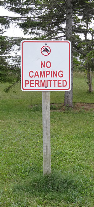
Sad signs say so much.
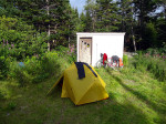
I found a nice patch of grass behind the Mary Brown’s restaurant and decided to ask the woman at the Drive-Thru window if I could camp there. She proceeded to tell me that there is a better place down near the pond – away from the noise of the highway. This sounded perfect. She was going on break so she led the way towards the spot in question. A short walk later I was at my campsite for the night. And a couple of hours later I was back at Mary Brown’s, this time for supper (and WiFi).
Today’s Totals:
Distance Travelled: 109.93 km
Time on Bike: 5:57:40
Maximum speed: 59.66 km/h
Average speed: 18.44 km/h
-

- I found the one place the sun was shining this morning!
-
- I don’t know what the peak is in the distance, but it’s nice.
-
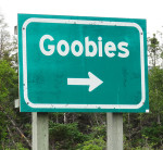
- How could I not take a picture for a town called Goobies?
-
- Same peak, closer view. Still don’t know the name of it.
-
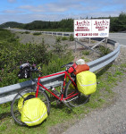
- I don’t know Jack’s, but this was my lunch spot.
-
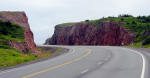
- These rocks looked much better in person.
-
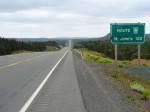
- Last sign for St. John’s of triple digits.
-
-
Wild camping
(sort of)
-
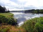
- The pond near my wild campsite.
-
- Not the nicest home office I’ve had but the WiFi is good.
-
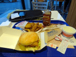
- Good eating after a good day of riding.
St. John’s is now “just” 70 km away. Even though I’m not a coffee drinker, I’ve decided to make “Fixed” my destination for tomorrow. As you may or may not recall, “Fixed” is a cafe that was mentioned to me by a fellow cyclist (Dave) on the way to Kingston (oh so long ago). If all goes well I hope to arrive there by 2:00. I really hope all goes well.
Comments are Closed