
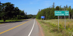
Looking At Maps Can Make For Long Days Pictou, NS to Cape Jourimain, NB
This would’ve been a much better shot
if my tent was still set up.
The decision became easier when I factored in the idea of a REAL provincial trifecta. As you may recall, my original provincial trifecta wasn’t TECHNICALLY a trifecta since Newfoundland & Labrador are really one province. However, Nova Scotia, Prince Edward Island, and New Brunswick are clearly three provinces. How could I pass up this opportunity? Clearly I couldn’t – even though it would add another 100 km to my ride to Halifax.
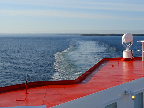
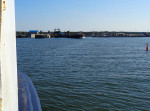
Goodbye Nova Scotia.
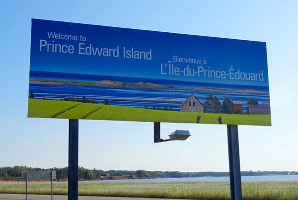
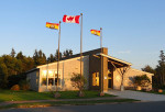
Hello Prince Edward Island.
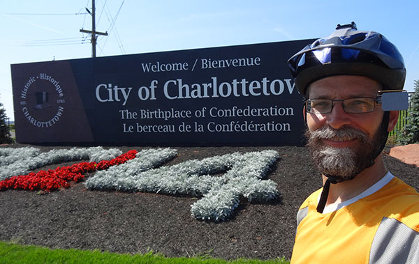
Actually, I stopped in at a No Frills before crossing the bridge to Charlottetown – I couldn’t pass up the chance to stock up on trail mix.
I managed to get this photo before my camera battery died.
As usual, the wind was worse than the hills and, given my direction of travel, it wasn’t going to get any better as the day wore on. I think my legs have become programmed for such conditions because they just kept on pedalling. And pedalling. Up hill. Down hill. And slowly the kilometres drifted away.
With about 20 km to go I ran into another cyclist – decked out with the same bright yellow MEC pannier covers. He pulled over to my lane for a bit of a chat. Turns out his name is Mark too – but he’s from Ireland. Like several of the other cyclists I’ve met, his journey started out in BC – I’m beginning to think that’s where I should’ve started too! Anyway, we discussed the usual topics – including the greatness that is Mountain Equipment Co-op. And he also warned me of the resilient mosquitos of New Brunswick – apparently it takes more than high winds to keep them away. With more riding left to do, we parted ways. And so with the wind at his back and, sadly, in my face, we resumed our rides.
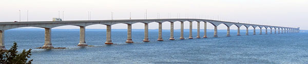
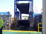
About an hour later I arrived at Confederation Bridge. A pretty awe-inspiring creation. Unfortunately, it’s a pretty awe-inspiring creation that doesn’t allow bicycles. I knew this ahead of time but that didn’t make me want to ride across it any less. I paid my $8.50 for the shuttle and 13 km later I was in New Brunswick. A REAL provincial trifecta.
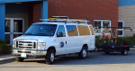
As much as I wanted to bask in the glory of my accomplishment I still had to figure out where I would be sleeping tonight. My original plan was to head down the road another 10-20 km in the hopes of finding an information centre or other suitable place to camp. My plan changed when I got out of the shuttle and felt (and heard) the wind howling. Again, not in my favour. Even though it would mean longer days for Tuesday and Wednesday, I decided to set up my tent at the Information Centre where the shuttle had stopped. My day of riding was officially over.
-
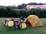
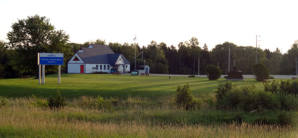
- Another successful night of free camping.
-
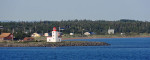
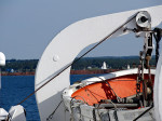
- A lighthouse as we leave Nova Scotia.
-
- Goodbye Nova Scotia.
-
- Hello PEI.
-
- Almost there …
-
- REALLY almost there …
-
- Not-so-almost there.
-
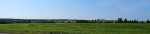
- One of many scenic farms.
-
- Nice spot for lunch.
-

- Are you looking at me?

-
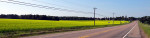
- I don’t know what these yellow things are but they looked nice.
-

- Still don’t know what these are.
-
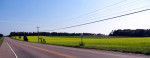
- Ok, seriously. Anyone know what these are?
-
- Ready to cross Confederation Bridge – although I REALLY want to cycle across.
-
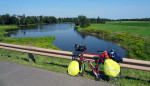
- My home for the night (off to the left).
-
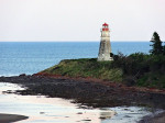
- Hey look, another lighthouse.
-
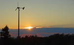
- For the record, that wind turbine is spinning like crazy at the moment.
Today’s Totals:
Distance travelled: 131.95 km
Time on bike: 6:37:32
Average speed: 19.91 km/h
Provinces visited: 3
Comments are Closed